 |
California Legacy Project 2001-2002 Project Website: http://legacy.ca.gov/
|
Summary:
The California Legacy Project was a statewide, drugstore multi-year initiative by the State of California to develop tools and coordination mechanisms to support public and private conservation efforts. A main focus of the project was the development of an updated library of GIS data relevant to conservation planning, sales as well as the creation of an online “digital atlas” to allow non-GIS users to access the data and tools. Another major accomplishment was the coordination of a series of 9 regional workshops – events involving local agencies, ambulance nonprofit organizations, academics, and private interests to strategize about the resources and issues unique to each region.
Role:
Managed GreenInfo Network’s GIS support of the project, which included:
- providing data development, coordination, and management support,
- lead cartography,
- map design and production for regional planning sessions,
- general GIS strategic planning support, and
- aid in the development of the online Digital Conservation Atlas Internet Map Server (IMS).
Gallery:
Subset of statewide map series
-

- California Public & Conservation Lands
-

- California Forest Lands & Woodlands
-

- California Rare Plant Species
-

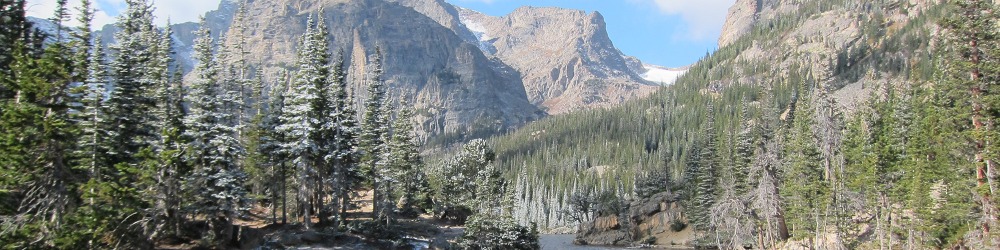
- Bay Area Topography
-

- San Joaquin Valley Important Farmlands
-

- North Coast-Klamath Forest Lands & Woodlands
-

- Central Coast Habitat Types
-

- South Coast Public & Private Open Space
-

- Colorado-Mojave Desert Existing & Emerging Plans